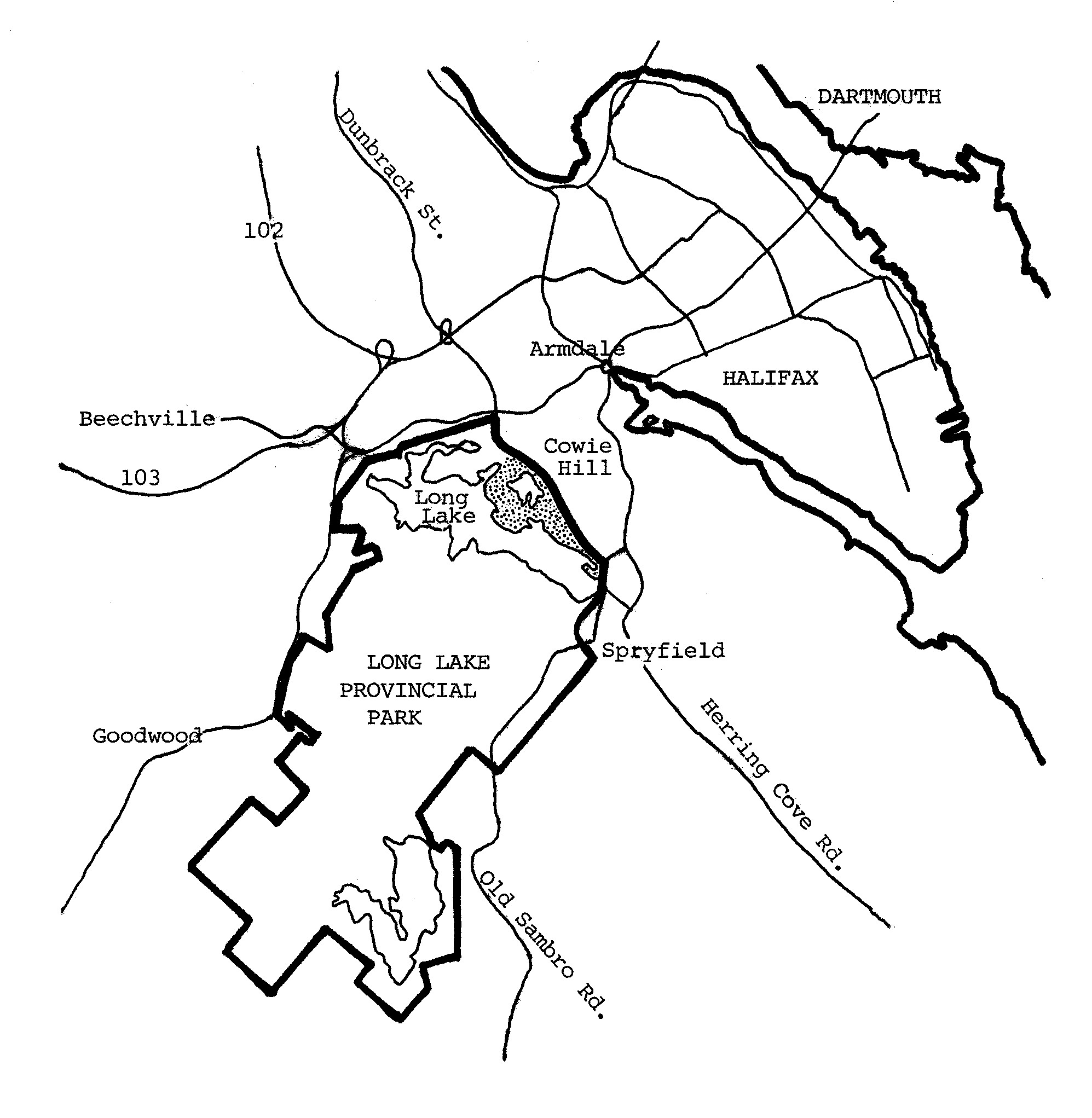
Maps help us visualize our place in the world. This map of Long Lake Provincial Park shows that the park as a whole is about the same size as the Halifax peninsula. The map also shows a stippled region within the park. This is the region that is co-managed by Long Lake Provincial Park Association together with the provincial government. The co-managed region is about the same size as Point Pleasant Park.

I was told there was a waterfall in long lake park but tried to follow instructions on how to get there but no luck. Can someone give me clear instructions please? I love this park!!
The waterfall is seasonal and is on Beaverdam Brook which runs into the south side of Long Lake towards the west end of the lake. It can be accessed from the St. Marg’s Bay Road parking lot by taking the “pipeline loop trail” along the head of the lake and then following a narrow track left. The trails and tracks are mapped at the link below, and the waterfall is shown with a green symbol. The track to the waterfall is difficult to follow, so make sure you use appropriate caution so as not to get lost. The waterfall is dry currently due to weeks without rain so you could have walked past the spot and not realized that you had found it. Please note that LLPPA has no formal responsibility for this region of the park.
https://www.alltrails.com/explore/canada/nova-scotia/halifax